- Kuzbass
- University
- Education
- Science and Innovation
- Life at KuzSTU
- Kuzbass-300 Satellite
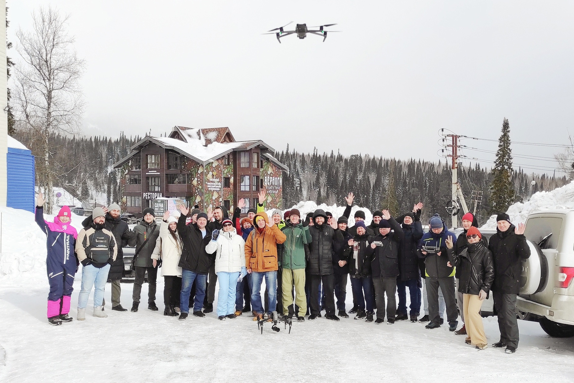
The VI All-Russian Scientific and Practical Conference "Problems and prospects of application of unmanned technologies in the industrial complex" timed to the Decade of Science and Technology in the Russian Federation was held on March 20-22, 2024 at the site of KuzSTU in Sheregesh.
More than 60 participants and industry experts from ten regions of Russia (Moscow, Komi Republic, Volgograd Region, Kemerovo Region, Novosibirsk Region, Tomsk Region, Republic of Khakassia) and the Republic of Belarus took part in the conference in person and remotely. These were representatives of 26 technology companies, industrial enterprises, 11 scientific, educational and public organizations.
This year's final resolution also includes several important aspects. For example, to prepare and send an appeal to federal ministries and agencies regulating the sphere of Unmanned Aerial Systems, a number of key recommendations and proposals, including simplifying the legislation on the operation of drones. In addition, it was decided to work out the issue of creating a center for processing of aerial survey results in a network form at KuzSTU.
Nowadays, unmanned aerial systems are used almost everywhere. Even large industrial and manufacturing companies cannot do without them. Oil and gas companies use them to monitor the condition of oil and gas pipelines. Drones are widely used by coal companies in Kuzbass - they are used for aerial photography of coal mines. These technologies are also interesting in the field of science. At the conference Yuri Manakov, Doctor of Biological Sciences, made a report on remote sensing research at the Carboniferous polygon. The scientist is a member of the Expert Council of the Presidium of the Siberian Branch of the SB RAS on the Paris Agreement, as well as the head of the KarboPromKuzbass carbon test site.
In his opinion, the introduction of unmanned technologies will become one of the key methods for studying the ecosystems of the Carboniferous polygon with obtaining important multimodal data. In particular, Unmanned Aerial Systems will make it possible to obtain spatial information on the land surface, assess the degree of moistening of areas, distribution and condition of vegetation and soil cover, wood reserves of forest areas, conduct bathymetric analysis of water bodies, etc.